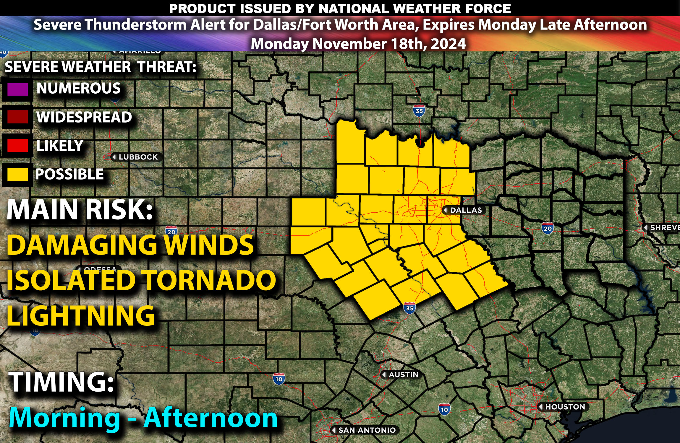
A severe thunderstorm alert is in effect from Monday at 1 AM CT until Monday afternoon.
Forecast Discussion: A negatively tilted mid-level trough will be advancing quickly from the southern Plains into the Mississippi Valley, accompanied by a robust upper-level jet with wind speeds of 90-100 knots. This setup will significantly enhance vertical shear and atmospheric lifting, which are crucial for the development and intensification of severe thunderstorms over Dallas and Fort Worth.
Surface Forecast: The day will start with an active line of storms already moving through the region, driven by a rapidly deepening surface low. Despite moderate CAPE values of 500-700 J/kg, the strong dynamics from the upper levels are expected to facilitate the development of severe weather. Wind shear of 50-60 knots will aid in organizing storm structures, raising the likelihood of supercell formation and enhancing the risk of severe weather phenomena, including hail and potentially isolated tornadoes.
Timing: A line of storms is anticipated to sweep from west to east starting around 3 AM CT, pushing through the heart of Dallas by 6 AM CT and dissipating slowly as it moves eastward into areas such as Greenville by 10 AM CT.
Local Impact: Dallas and Fort Worth should brace for damaging winds and perhaps isolated tornadoes.
